The site of community importance ROSCI0097 Lacul Negru and the nature reserve 2.813 Lacul Negru – Cheile Nărujei I are located in the upper course section of Năruja river, south of Dealul Negru peak, on the administrative territory of Nistoreşti and Păuleşti communes, in the mountain area of Vrancea County. The site area is of 104 ha, plus the nature reserve area of 88,1 ha.
The central point of interest in this area, namely Lacul Negru, located at an altitude of 1250 m and with a maximum depth of 7,5 m, is distinguished by the active raised bog which has the appearance of floating vegetation and covers half of the water surface. Thus, the specific habitats of the alpine mountain peateries give uniqueness to this site and shelter particular elements of flora and fauna, a series of relict, endemic or community interest species. The name Lacul Negru comes from the darkness of the spruce forest that surrounds the lake and is reflected in its clear waters.
The access to the site is quite easy, due to its proximity to a hydrographic artery of major importance for the Vrancea region (Zăbala river with its affluent, Năruja river), accompanied by an axial road. It starts from the county road DJ 205D, Focşani – Nistoreşti – Herăstrau, which then continues with the forest road along Valea Nărujei, up to the receiving basin of ”Izvoarele Nărujei”. Close to the forest huts, there is a marked tourist route leading to Lacul Negru.
The geology of the region is complex, due to the eastern sailings of the folds-scales made up of eocene-oligocene deposits. The area is characterized by frequent earthquakes with different intensities, the strong ones causing important changes in the evolution of landforms.
Superficial landslides occur in the region, due to clay-sandstone lithology and excess rainfall, but their triggering is of tectonic origin in some cases. The effect is the destabilization of superficial marl-clay layers, which trigger more or less intense landslides.
As for the landforms, the scenery is dominated by Dealul Negru peak, whith its southern slope covered by a trail of mountain detritus, interrupted by spruce trees. The land is heavily fragmented by tectonic phenomena and the most important and visible effect is the ”dry” landslide, which is the ”latch” of the natural dam upstream of which Lacul Negru has formed.
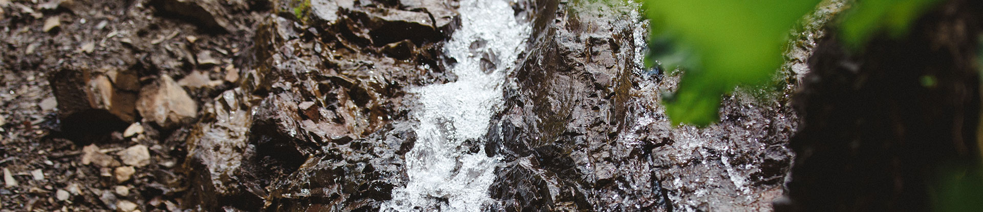
With an area of approximately 1 ha, this is also the main hydrographic artery in the protected natural area and the source of Lacul Negru stream, a tributary of Năruja river after it enters the upper section of the gorges.
The most widespread soils are of brown-acid type. The natural vegetation above these soils is dominated by beech forests mixed with conifers in lower altitudes and spruce forests in high altitudes. Also in high altitudes, there are brown-acid soils of meadows with podsols, even dark brown-acid soils here and there.
The temperate continental climate consists of great variations from winter to summer. The thermic regime is influenced by altitude and by the vegetation coverage degree of the land (in the forested parts of the mountain, the extremes are toned down and the amplitudes are smaller, compared to the area of the upper slope covered with mountain detritus), as well as by the orientation, nebulosity and wind regime.